Start with one place and one question
Local transportation history is easier to explore when you begin small. Choose a familiar street, bridge, intersection or route to a library or school. Then ask a question you can investigate: Was this road always here? How did people cross the river before the current bridge? Where did a former rail line run? A focused question gives children something to look for without requiring them to understand an entire city at once.
Write down what you can see today before opening an old map. Note the names of nearby streets, the shape of the blocks and features such as tracks, paths, wide sidewalks or unusually shaped lots. A quick sketch is enough. It becomes your starting record, which you can compare with older evidence rather than relying on memory.
Compare maps carefully
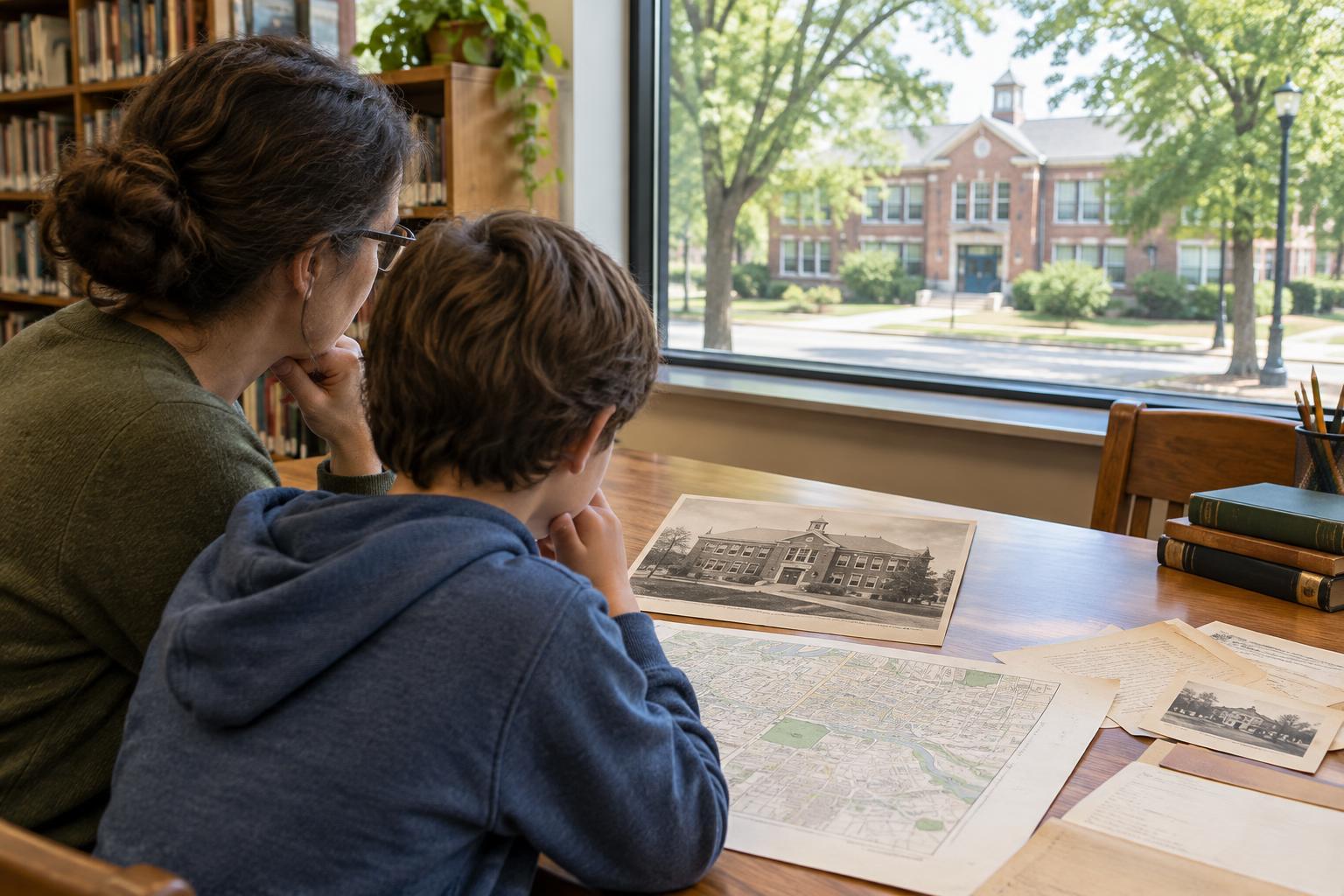
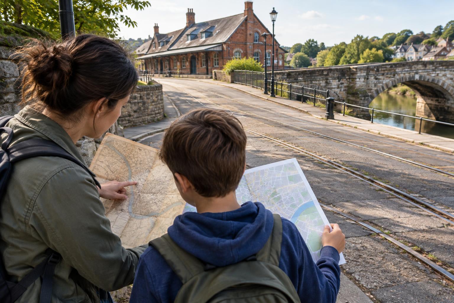
Look for maps from at least two different periods, plus a current map for reference. A public library, local history collection or municipal archive may be able to help you find them. Start with landmarks likely to be recognizable across versions, such as a river, a major road or a public building. Then examine one feature at a time. Does a route appear, disappear, change name or take a different path?
Maps are useful clues, but they do not tell the whole story. One map may show a rail line in detail while another leaves it out because it was made for a different purpose. Mapmakers may also draw at different scales or use different symbols. Check the date and legend, and resist treating every difference as proof that something on the ground changed.
Invite children to place tracing paper over a copy or printout and mark routes in different colors. If copies are not available, they can draw a simple side-by-side comparison instead. Ask them to label what they know, what they suspect and what they still need to check. That distinction makes the investigation more interesting than a hunt for one “right” answer.
Use records to explain the lines
Once a map suggests a change, look for records that might explain it. Historic photographs can show vehicles, road surfaces, signs or the area around a stop. Newspapers, town reports, planning documents and transit timetables may describe proposed routes or changes in service. Street directories and business listings can offer clues about which places people needed to reach. Availability varies by location, so use whatever records your library or archive makes accessible.
Keep a simple evidence log with the item’s title or description, its date if known, where you found it and what it appears to show. Pay attention to the difference between a proposal and a completed project: a planned road on a document may never have been built. If a record has no clear date or location, mark that uncertainty rather than fitting it into the story too quickly.
Look for clues on a neighborhood walk
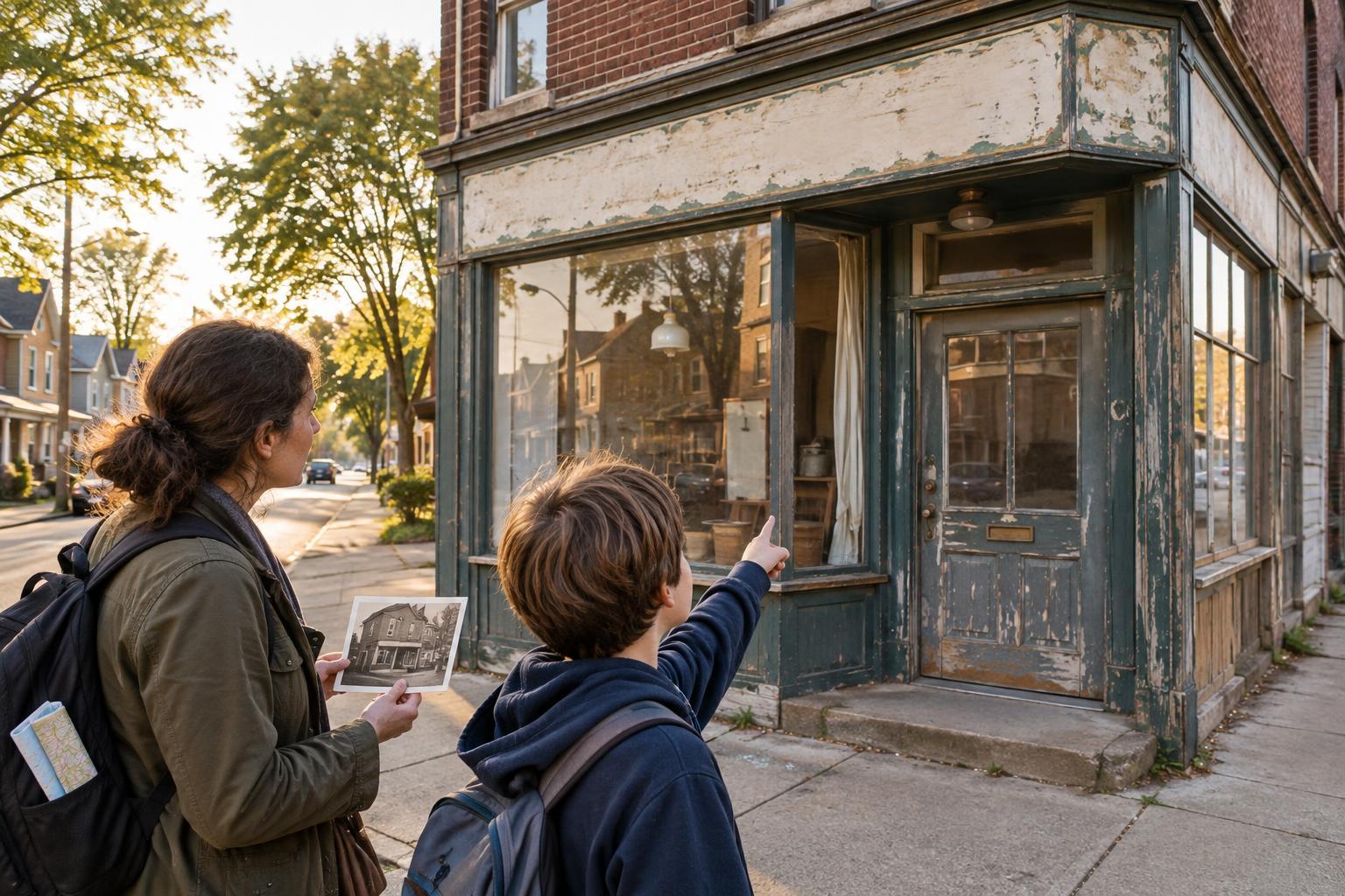
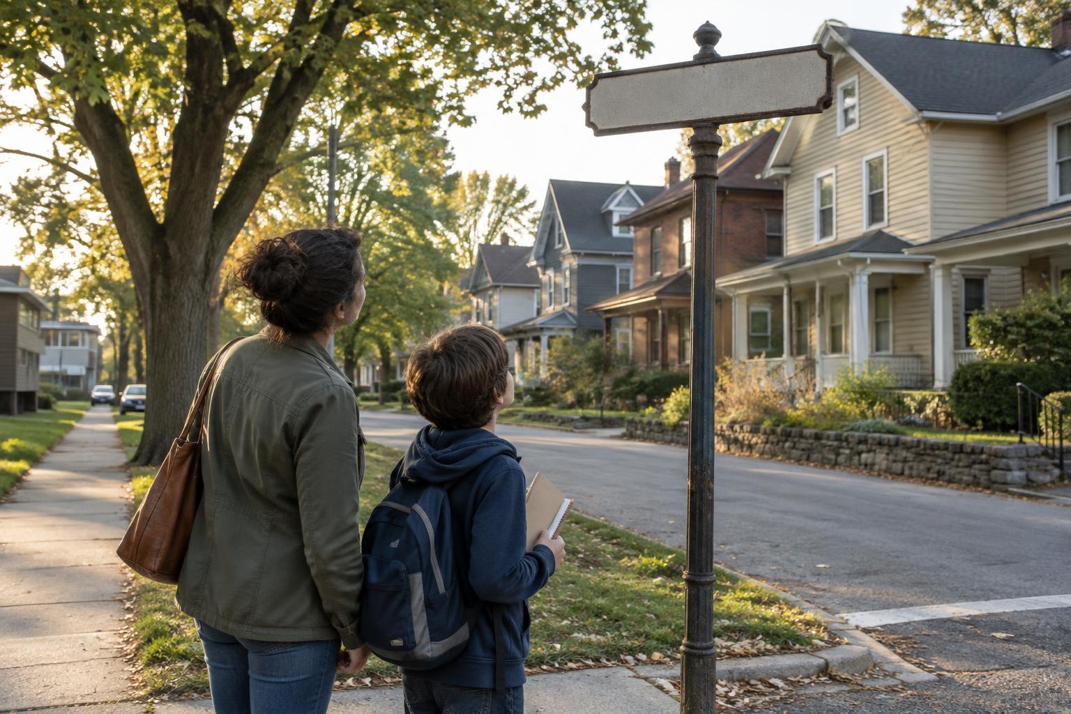
Take your maps or sketches on a short walk along a public route. A bridge approach, a broad curve or a path between buildings might help you recognize an older connection. Look for street names that suggest past uses, but treat them as questions to investigate, not evidence on their own. Buildings and roads can be rebuilt, and an absence of visible traces does not mean a route never existed.
Make observation the activity, not a reason to enter unsafe or private spaces. Stay on public paths, follow crossing rules and photograph from places where visitors are permitted. Children can compare their earlier sketch with what they now notice and record surprises in words or drawings. The walk may also reveal a new question worth taking back to the maps.
Build a timeline that leaves room for uncertainty
Put your findings in order on a sheet of paper or a set of cards. Each card can name a change, show the evidence behind it and carry a question mark if the date or interpretation is uncertain. For example, one map might show a road while a later photograph helps establish how it was used. If two records disagree, display both and ask what further evidence would help.
Finish by imagining an ordinary trip between two nearby places at different points in the timeline. Which routes seem possible in each period? What might have become easier or harder to reach? Keep those ideas separate from what the records confirm. The result is a local history project that shows not only how transportation changed, but also how patient observation can turn a familiar neighborhood into a place of discovery.